|
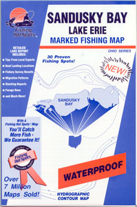
Order Your Official
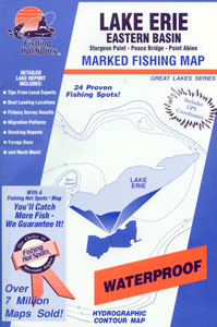
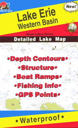
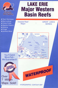
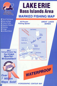
Lake Erie Walleye Fishing Maps
Today!
To Order, call 1
800 347-4519 or click below to order
online!

New Central Lake Erie Maps
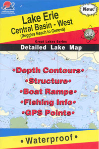
Coverage from Ruggles Beach to
Geneva, OH |
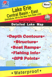
Coverage from Ashtabula, OH to
New York State Line |
|
Western Basin of Lake
Erie on CD
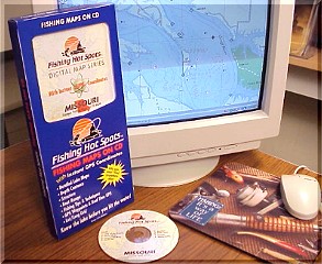
Only $29.95 each....
This new Digital Map
is a powerful tool for the fisherman of the NEW
MILLENNIUM. Not only do you have the latest, detailed lake map of
Erie's famous Western Basin, you have a GPS system that instantly allows
you to pinpoint coordinates. You can easily plot, label and log any
GPS waypoint.
A simple click of your mouse puts you in command
of an on-screen navigator designed to show where you are on the map at
all times. The map features depth contours, structure, boat ramps,
an active lat/long grid plus online fishing tips and techniques and valuable
lake information.
A great tool for planning Western Basin trips
as well as for logging previous trips for reference later.
Minimum System Requirements:
- Microsoft windows 95/98 - Intel Pentium 66mhz processor
(200 mhz recommended) - 16 mb RAM (32+ recommended)
- 2x CD-ROM - Video Card -20 megabytes of hard disk space
|